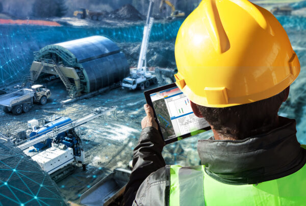
Without a clear and evolving understanding of a site, project delays and added costs become increasingly likely.
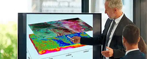
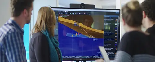
When you can bring together all your data, analyse and mitigate risks of excavations and engineering designs, and communicate and collaborate with project partners and stakeholders – everyone can make the most informed decisions throughout a project.
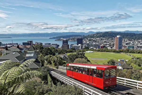
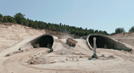
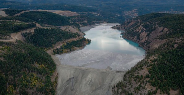
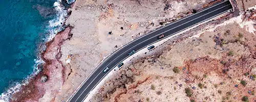
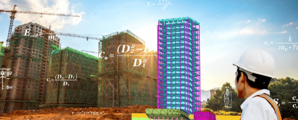
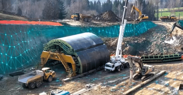
Geophysicists, engineering geologists, and geotechnical engineers use our software on infrastructure projects to plan, design, and construct roads, rail, bridges, tunnels, buildings, and dams and levees.